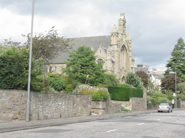
Juniper_Green_Parish_Church_-_geograph.org.uk_-_936189.jpg (640 × 480 pixels, file size: 81 KB, MIME type: image/jpeg)
File history
Click on a date/time to view the file as it appeared at that time.
| Date/Time | Thumbnail | Dimensions | User | Comment | |
|---|---|---|---|---|---|
| current | 16:14, 19 August 2019 |  | 640 × 480 (81 KB) | Bjh21 | Reverted to version as of 06:47, 22 February 2011 (UTC): Not a minor, uncontroversial improvement. See COM:OVERWRITE. |
| 15:55, 19 August 2019 |  | 2,706 × 2,706 (1.3 MB) | Gpwitteveen | Image file from 8/2019 shows frontal view of parish church instead of previous file photo from oblique angle. | |
| 06:47, 22 February 2011 |  | 640 × 480 (81 KB) | GeographBot | == {{int:filedesc}} == {{Information |description={{en|1=Juniper Green Parish Church Relatively recent - before the middle of the 19C Juniper Green had no church of its own, and folks had to walk to Colinton, about 1.5 km along the Water of Leith.}} |date |
File usage
The following page uses this file:
Global file usage
The following other wikis use this file:
- Usage on de.wikipedia.org
- Usage on eu.wikipedia.org
- Usage on www.wikidata.org

