Size of this preview: 800 × 568 pixels. Other resolutions: 320 × 227 pixels | 640 × 454 pixels | 1,024 × 727 pixels | 1,280 × 908 pixels | 2,560 × 1,816 pixels | 5,294 × 3,756 pixels.
Original file (5,294 × 3,756 pixels, file size: 14.26 MB, MIME type: image/jpeg)
File history
Click on a date/time to view the file as it appeared at that time.
| Date/Time | Thumbnail | Dimensions | User | Comment | |
|---|---|---|---|---|---|
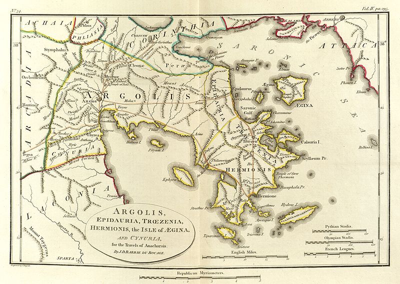
| current | 01:27, 24 May 2010 |  | 5,294 × 3,756 (14.26 MB) | Aremulus | {{Information |Description={{en|1=Scan of Map of Argolis. {{PD-1923}} {{PD-self}} {{PD-old}} {{PD-scan}}}} |Source=Maps, plans, views and coins illustrative of the travels of Anacharsis the Younger in Greece, during the middle of the fourth century befor |
File usage
The following 25 pages use this file:
- Antheia (Argolis)
- Apobathmi
- Araethyrea (Argolis)
- Argolis
- Asine
- Belbina (Argolis)
- Bembina (Argolis)
- Cenchreae (Argolis)
- Eion (Argolis)
- Elaeus (Argolis)
- Eva (Cynuria)
- Genesium
- Hysiae (Argolis)
- Lessa (Argolis)
- Lyrceia
- Mases
- Midea (Argolid)
- Mount Phoukas
- Neris (Cynuria)
- Oenoe (Argolis)
- Orneae
- Prosymna
- Sphaeria
- Temenium
- Template:AncientArgolis-geo-stub
Global file usage
The following other wikis use this file:
- Usage on br.wikipedia.org
- Usage on da.wikipedia.org
- Usage on el.wikipedia.org
- Usage on it.wikipedia.org
- Usage on ka.wikipedia.org
- Usage on la.wikipedia.org
- Usage on lv.wikipedia.org
- Usage on mk.wikipedia.org
- Usage on sco.wikipedia.org
- Usage on sl.wikipedia.org
- Usage on www.wikidata.org
