Size of this preview: 456 × 600 pixels. Other resolutions: 182 × 240 pixels | 365 × 480 pixels | 584 × 768 pixels | 1,128 × 1,483 pixels.
Original file (1,128 × 1,483 pixels, file size: 927 KB, MIME type: image/jpeg)
File history
Click on a date/time to view the file as it appeared at that time.
| Date/Time | Thumbnail | Dimensions | User | Comment | |
|---|---|---|---|---|---|
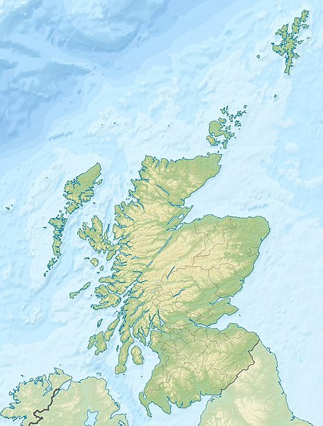
| current | 23:30, 25 June 2010 |  | 1,128 × 1,483 (927 KB) | Uwe Dedering | {{Information |Description={{de|Positionskarte von Schottland, Vereinigtes Königreich}} Quadratische Plattkarte, N-S-Streckung 170 %. Geographische Begrenzung der Karte: * N: 61.0° N * S: 54.5° N * W: |
File usage
More than 100 pages use this file. The following list shows the first 100 pages that use this file only. A full list is available.
- Alfred Dunhill Links Championship
- Ardnamurchan
- Ardnamurchan Point
- Arthur's Seat
- Battle of Aberdeen (1644)
- Battle of Auldearn
- Battle of Cromdale
- Battle of Dun Nechtain
- Battle of Dunkeld
- Battle of Glen Shiel
- Battle of Halidon Hill
- Battle of Harlaw
- Battle of Inverlochy (1645)
- Battle of Killiecrankie
- Battle of Largs
- Battle of Stirling Bridge
- Battle of Tippermuir
- Beinn Alligin
- Beinn a' Bheithir
- Ben Lomond
- Ben Macdui
- Ben Nevis
- Ben Rinnes
- Ben Stack
- Bennachie
- Braeriach
- Buachaille Etive Mòr
- Burnt Islands
- Butt of Lewis
- Cairngorms
- Cairnpapple Hill
- Calton Hill
- Cape Wrath
- Corrachadh Mòr
- Cowal
- Cromarty Firth
- David Stevenson (engineer)
- Dundee
- Dunfermline
- Dunnet Head
- Dunsinane Hill
- Edinburgh
- Ettrick Water
- Fairy Lochs
- Firth of Clyde
- Firth of Forth
- Firth of Tay
- Gare Loch
- Glasgow
- Harald Hardrada
- Inchgarvie
- Inveraray Castle
- Inverness
- Johnnie Walker Championship at Gleneagles
- Keith Inch
- Kintyre
- Loch Eriboll
- Loch Garten
- Loch Leven (Kinross)
- Loch Lomond
- Lochleven Castle
- Lochnagar
- Lochs of Spiggie and Brow
- Mainland, Shetland
- Merrick (Galloway)
- Montrose, Angus
- Moray Firth
- Mounth
- Muirfield
- North Rona
- Northern Isles
- Northern Lighthouse Board
- Old Course at St Andrews
- Orkney
- Out Stack
- Outer Hebrides
- Pentland Firth
- Pentland Hills
- Perth, Scotland
- Prestwick Golf Club
- Rannoch
- Rannoch Moor
- River Esk, Lothian
- River Teviot
- River Tummel
- Robert Stevenson (civil engineer)
- Sand, Applecross
- Scapa Flow
- Scottish Open (golf)
- Shetland
- Sidlaws
- Sleat
- Solway Firth
- Sound of Bute
- St Abb's Head
- St Andrews Castle
- St Ninian's Isle
- Sule Skerry
- Sule Stack
- The Minch
View more links to this file.
Global file usage
The following other wikis use this file:
- Usage on ab.wikipedia.org
- Usage on am.wikipedia.org
- Usage on an.wikipedia.org
- Usage on ar.wikipedia.org
- Usage on arz.wikipedia.org
- Usage on ast.wikipedia.org
- Usage on as.wikipedia.org
- Usage on awa.wikipedia.org
- Usage on azb.wikipedia.org
- Usage on az.wikipedia.org
- Usage on ba.wikipedia.org
- Usage on be-tarask.wikipedia.org
- Usage on be.wikipedia.org
View more global usage of this file.

