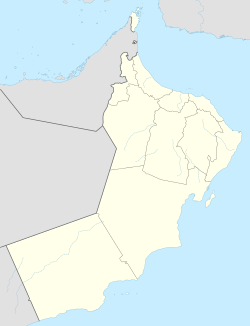
Hadf is a village in Al Buraimi Governorate, in northeastern Oman.[1] It is administered as a condominium with certain rights held by the bordering Emirate of Ajman.[2]
Hadf | |
|---|---|
Village | |
| Coordinates: 24°47′41″N 56°0′40″E / 24.79472°N 56.01111°E | |
| Country | |
| Region | Al Buraimi Governorate |
| Time zone | UTC+4 (Oman Standard Time) |
Hadf, a small area on the Arabian Peninsula, a part of Oman, at one time was jointly ruled with the Emirati member state of Ajman. The agreement defining the Hadf zone was signed in Salalah on 26 April 1960 by Sultan Said bin Taimur and in Ajman on 30 April 1960 by Shaikh Rashid bin Humaid Al Nuaimi, ruler of Ajman. This provided for some joint supervision in the zone by the ruler of Ajman and the shaikhs under the rule of Muscat. It allowed the Ajman ruler to continue collecting zakat (Islamic tax). The ruler of Ajman was, however, not to interfere in the affairs of the local people, the Bani Ka'ab (a branch of the Banu Kaab), which were the sole responsibility of shaikhs who were under Muscat rule. The agreement was later terminated.
Toponymy
editAlternative Names: [3] Hadaf, Hadf, Hadhf, Hadi, hdf, حدف, Ḥadaf, Ḩadaf, Ḩadf, Ḩadhf
References
edit- ^ National Geospatial-Intelligence Agency. GeoNames database entry. (search) Accessed 12 May 2011.
- ^ "The Basement Geographer". Archived from the original on 27 Aug 2013. Retrieved 2018-03-11.
- ^ Mindat.org - Ḩadaf
