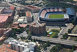
Arganzuela is one of the 21 districts of the city of Madrid, Spain.
Arganzuela | |
|---|---|
 | |
 | |
| Country | Spain |
| Autonomous community | Madrid |
| Municipality | Madrid |
| Government | |
| • Councillor-President | Dolores Navarro Ruiza (PP, 2023) |
| Area | |
• Total | 6.55 km2 (2.53 sq mi) |
| Population | 148,797 |
| • Density | 27,700/km2 (72,000/sq mi) |
| Madrid district number | 2 |
Geography
editPosition
editArganzuela is located in central-southern Madrid, separated from Latina, Carabanchel and Usera by the river Manzanares. The other bordering districts are Centro, Retiro and Puente de Vallecas.
Subdivision
editThe district is administratively divided into 7 wards (Barrios):
Sightseeing
editMatadero Madrid, in Arganzuela, is a former slaughterhouse that is currently a free entrance area and cultural centre where many activities take place in daytime.
See also
editReferences
editExternal links
editWikivoyage has a travel guide for Madrid/Arganzuela.
Media related to Arganzuela at Wikimedia Commons
40°24′10″N 3°41′43″W / 40.402733°N 3.695403°W